Rondônia, northern Mato Grosso and northwest Goiás are drained by tributaries of the Amazon,
UNESCO honors several areas as World Heritage Sites: the Cerrado Protected Areas includes two units, one about 80 kilometers from the center of Mineiros; and the Pantanal Conservation Area, a tourist attractionsd, with four units, one being near Corumbá.
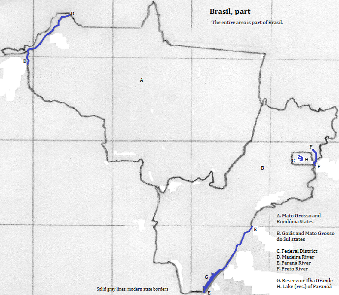
Map
Who lives there?
This area shares Portuguese and Roman Catholic Christianity with the rest of Brazil.
Brasília, the national capital, and Goiânia, the state capital of Goiás, both have more than a million residents. Other cities of note are Cuiabá, Mineiros, Goiâs, Corumbá and Campo Grande.
Who was there before?
So little was recorded at early Luzo-Brazilian contact, and so much change has been wrought since, that the best way to reconstruct the pre-Columbian past is to generalize from the present day distribution of indiginous languages, but this is admittedly error prone.
Major languages groups
Portuguese speakers began arriving in the 17th century, perhaps earlier, and indiginous populations dwindled from disease, slavery and exploitation in the rubber industry. Most indiginous people adopted Roman Catholic Christianity, and many switched their family language to Portuguese.
Around the Area
north of northeastern Mato Grosso
north of Goiás
northeast of Goiás
southeast of Goiás and of northern Mato Grosso do Sul
southeast of southern Mato Grosso do Sul
southwest of Mato Grosso do Sul
southwest of Rondônia and Mato Grosso
northwest
Footnotes
1. Officially Brasil since the late 19th century; still Brazil in English.
2. Centro-Oeste in Portuguese.
3. The region consists of the Federal District and the states of Goiás, Mato Grosso and Mato Grosso do Sul.
4. Norte in Portuguese.
5. The third or fourth longest river in South America.
6. 'Do sul' translates as southern from Portuguese.
7. Translates from Spanish as big.
8. Amazonas in Portuguese or Spanish. That river is South America's longest and the world's
second longest.
9. The Pará-Tocantins is South America's sixth or seventh longest river.
10. Paraná is the world's ninth longest river, and South America's second longest.
11. Paraguay in Spanish and English. It is South America's eighth longest river.
12. Joseph Greenberg would classify all pre-Columbian language groups together as Amerindian.
13. Macro-Ge, Carib and Panoan are sometimes grouped into a Ge-Pano-Carib group.