Brasília
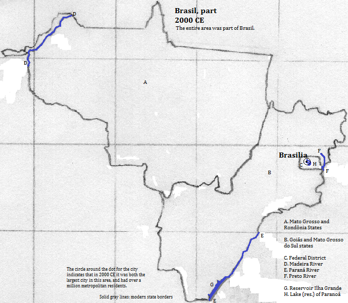
Brasília, the capital of Brasil (Brazil), is located west of the artificial Lake Paranoá,1 in the Federal District of Brasil. The population of the city proper is just 210 thousand2 but the city is more usually conflated with the Federal District, which has population of over 2 million.3 Brasília became the capital in 1960 and proclaims the success of its statuary, monuments, public buildings and planned city, while straining to hide the slums, some of which formed even before construction of the city was completed. The planning was done by Lucio Costa and the lead architect was Osacar Niemeyer. Their efforts earned the city UNESCO World Heritage Status. The north-south axis is a transportation artery leading to residential zones, while the east-west 'Monumental' axis contains public buildings.4 The tallest structure is the Torre de TV de (TV Tower of) Brasília (735 feet, 1967). The Banco Central do (Central Bank of) Brasil is the tallest building (331 feet, 21 stories, 1981). Another tall structure is the Mastro de Bandeira (flag pole, 328 feet, 1973). The pair of Palácio do Congresso Nacional Anexos (Palace of the National Congress Annexes), date from the city's opening (302 feet, 28 stories). Also of note is the multiple-hooped Ponte (Bridge) Juscelino Kubitschek across Lake Paranoá (3937 feet long, 2002), the Palácio da Alvorado (the presidential residence, 1957) and the inverted funnel-shaped Catedral Metropolitana Nossa Senhora (Metropolitan Cathedral Our Lady) Aparecida (1970).5 The city is served by one of Brasil's busiest airports.6
| Name | Year | Population |
| Brasilia | 2013 CE | 2,594,0002 |
External references
Overview of Brasilia, Federal District, Center-West Region, Brasil (Brazil)
Historical maps

Footnotes
1. The reservoir flows into the S&acedil;o Bartolomeu River, which flows into the Corumá River, which flows into the Paranaíba River, which is one of the headwaters of the Paraná River, which ends at the estuarine River de la Plata.
2. https://en.wikipedia.org/wiki/Bras%C3%ADlia, accessed 8/11/2015.
3. Metropolitan population calculated for 2012 is 2.594 million per world-gazetteer.com, accessed February 6, 2013. This number is approximately matched to that of the Federal District.
4. UNESCO, World Heritage Sites (Firefly Books, 2010).
5. Information about buildings is from emporis.com, accessed 8/11/2015.
6. Over one million passengers in 2014 per https://en.wikipedia.org/wiki/List_of_the_busiest_airports_in_Brazil, accessed 9/29/2014.

