| To Duval Family Home Page | South America |
| To Chris Home Page | Colombia |
| To Earth (Geography Home Page) | Hispano-America |
The Western
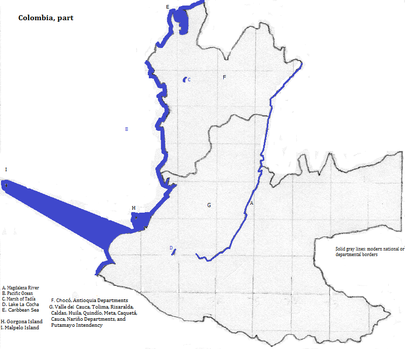
There are two UNESCO World Heritage Sites focused on nature: the Malpelo Fauna and Fora Sanctuary on Malpelo Island; and Los Katiós National Park along the border with Panamá and contiguous with a Panamanian national park. Another natural attraction is Gorgona Island.
This is one part of a large area of the Americas where Spanish and Roman Catholic Christianity represent the majority.
There are two UNESCO World Heritage Sites focused on culture: the National Archeological Park of Tierradentro
There are two large cities: Cali and Medellín. Tourists also visit Papayán, a city with buildings from the colonial era, and nearby natural attractions.
A sampling of pre-Columbian languages follows: I. Choco languages were spoken in Chocó and Anitiquia as well as in Panamá. II. Witotoan languages were spoken in Putamayo and further east.
north from northern Antioquia
northeast from Antioquia
east
south from eastern Putumayo
southwest
west
northwest
1. Translates as Valley of.
2. Occidental in Spanish.
3. Oriental in Spanish.
4. Translates as Snowy-peaks of the.
5. Translates as Snowy Peak.
6. Amazon in English.
7. Some atlases have 4764 for Cumbal and do not show Chiles--New International Atlas (Rand McNalley and Company, 1999) and The Times Atlas of the World (Random House, 1992); the Atlas de Colombia (Instituto Geográfico Agustín Codazzi, 1967) lists both with the heights I gave (Colombia Hundida 4000 Metros).
8. South America's sixth or seventh longest river.
9. Might be translated as toothed-land.