| Year | Population | Political entity |
| 2001 CE | 1,452,000 | Australia |
External references
Skyline of Perth, Western Australia, Australia, with the Swan River in the foreground
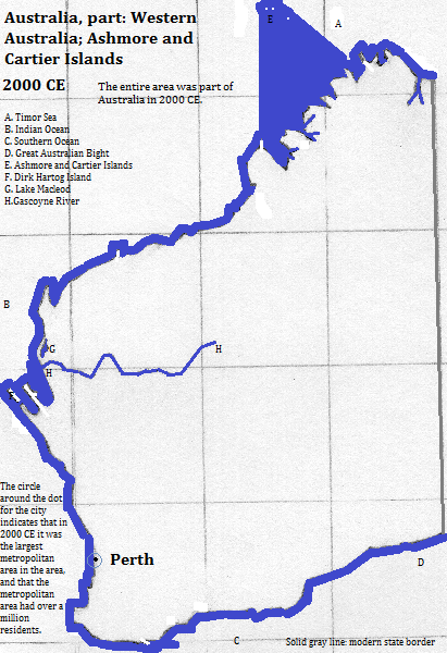
Historical map

Footnotes
1. https://en.wikipedia.org/wiki/Perth, accessed January 30, 2017, citing http://www.abs.gov.au/ausstats/abs@.nsf/mf/3218.0?OpenDocument.2. https://en.wikipedia.org/wiki/City_of_Perth, accessed January 30, 2017, citing http://www.abs.gov.au/AUSSTATS/abs@.nsf/DetailsPage/3218.02014-15?OpenDocument.
3. emporis.com, accessed February 20, 2017.
4. https://en.wikipedia.org/wiki/List_of_the_busiest_airports_in_Australia, accessed January 30, 2017.
5. https://en.wikipedia.org/wiki/City_of_Belmont, accessed January 30, 2017, citing http://www.abs.gov.au/AUSSTATS/abs@.nsf/DetailsPage/3218.02014-15?OpenDocument.
6. https://en.wikipedia.org/wiki/City_of_Swan, accessed January 30, 2017, citing http://www.abs.gov.au/ausstats/subscriber.nsf/log?openagent&32180ds0003_2003-13.xls&3218.0&Data%20Cubes&811CDB2C6F0319E3CA257CAE000ECBD6&0&2012-13&03.04.2014&Latest.
7. The Times Atlas of the Oceans (Van Nostrand Reinhold Company, 1983), "commodity loading ports" map.
8. https://en.wikipedia.org/wiki/Fremantle, accessed February 20, 2017, citing https://en.wikipedia.org/wiki/Australian_Bureau_of_Statistics.
9. Table in https://en.wikipedia.org/wiki/Perth, accessed January 30, 2017.