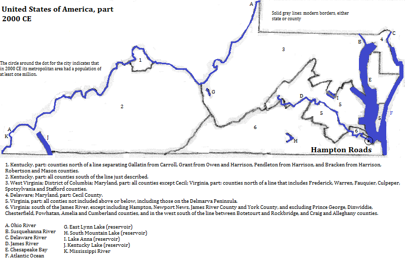
Hampton Roads
The Hampton Roads metropolitan area, also called Virginia Beach-Norfolk-Newport News, has 1.672 million residents and is located in on both sides of the Hampton Roads roadstead and beyond, extending slightly beyond Virginia and into North Carolina.1 Norfolk, Virginia, sits just south of the Hampton Roads channel, at the mouth of the James River. It is the world's largest naval base. Near Newport News is Joint Base Langley-Eustis. The Langley portion of it houses the U.S. Air Combat Command, formerly the Tactical Air Command. NASA operates a research facility next to the base. William and Mary College, founded in 1693, is located in Williamsburg on the Virginia Peninsula north of the channel. The colonial parts of that town and of nearby Yorktown and Jamestown, form a historical park area. East of Norfolk is Virginia Beach, which boasts--as of 2013--the tallest building in Virginia, the 508 foot Westin Virginia Beach Town Center and Residences. It is a hotel for 16 stories, and condominiums above that.2
The channel is crossed by two combination bridge/ tunnels. The James River proper is bridged upstream from Hampton Roads, and autos cross the opening of Chesapeake Bay, east of Hampton Roads, by a third bridge/ tunnel, this one 37 kilometers long.
Hampton Roads is a busy port for grain, containers and coal3 and Newport News is important for its ship-building.
External references
Naval Station Norfolk, Norfolk, Virginia, USA
Historical maps

Footnotes
1. From http://en.wikipedia.org/wiki/Virginia_statistical_areas, accessed 9/2013.
2. Details about buildings are from emporis.com, accessed 10/15/2013.
3. The Times Atlas of the Oceans (Van Nostrand Reinhold Company, 1983), "commodity loading ports" map.

