Birmingham
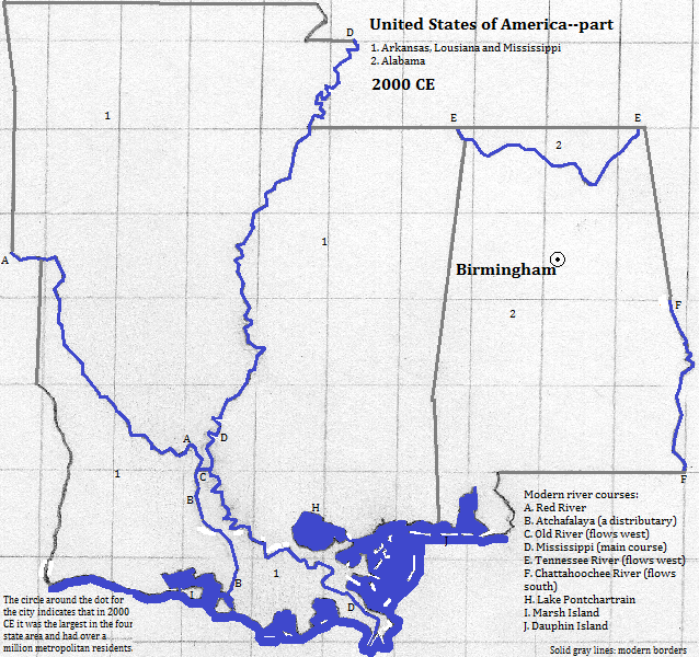
Birmingham is located in an intermontane valley at the south end of the Appalachian Mountains, and within the Black Warrior River basin.1 Beyond a ridge, Red Mountain, is another valley containing suburbs; this valley is part of the Cahaba River basin.2 The metropolitan population in 2006 was 1.189 million,3 with 212 thousand in the city itself in 2010.4 The city is located near coal, iron and limestone deposits and so became a steel-producing center. Among the notable buildings are: the City Federal Building, which was the city's tallest from 1913 until 1972; the Alabama Power Building (1925), topped by a 23 foot golden statue of Electra; a set of turretted apartments called Quinlan Castle (1927); and the Wells Fargo Tower, the tallest building in the city as of mid-2014 (34 stories, 1989). Another famous structure is the Vulcan Statue on Red Mountain, the largest cast iron structure in the world (55 feet above its pedestal). The site of the 16th Street Baptist Church is marked; it was bombed in 1963 by white supremacists.5 Tourists also visit the Civil Rights Institute and the Birmingham Museum of Art.
External references
Skyline of Birmingham, Alabama, USA
Historical maps

Footnotes
1. The Black Warrior flows into the Tombigbee, which joins with the Alabama to form the Mobile.
2. The Cahaba flows into the Alabama, which joins with the Tombigbee to form the Mobile.
3. http://en.wikipedia.org/wiki/Alabama_statistical_areas, accessed 3/19/2014.
4. http://en.wikipedia.org/wiki/List_of_cities_and_towns_in_Alabama, accessed 8/9/2014.
5. Information about buildings, statues and monuments is from emporis.com, accessed 8/9/2014.
