Adelaide
Metropolitan Adelaide had 1.277 million residents in 20121 but only 20 thousand live in the Local Government Area.2 This state capital is on the east shore of St. Vincent Gulf, west of the Mount Lofty Range. The tallest building as of midi-2014 is the Westpac House (31 stories, 1988). The Grenville Center was the tallest building from 1973 - 1987 (26 floors, 1975), and the T&G Building (11 stories) the tallest from 1925 - 1934. The General Post Office was the tallest building in Australia when it was completed in 1872. Also famous is St. Peters Anglican Cathedral (1901) and the Adelaide City Hall (1866).3 The city is an important grain port4 and has one of the nation's busiest airports.5
| Year | Population | Political entity |
| 1900 CE | 159,0006 | United Kingdom of Great Britain and Ireland (British Empire) |
| 2012 CE | 1,277,0001 | Australia |
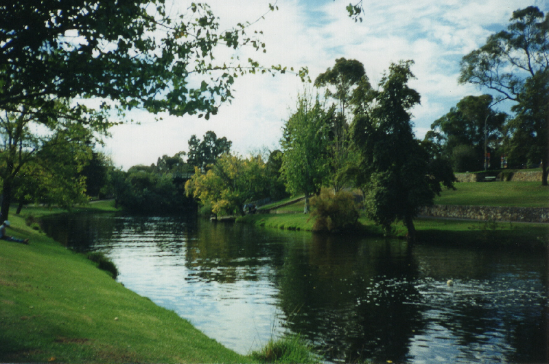
River Torrens parkland between the City of Adelaide and North Adelaide, South Australia, Australia
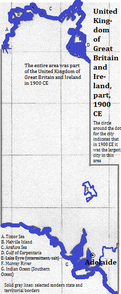
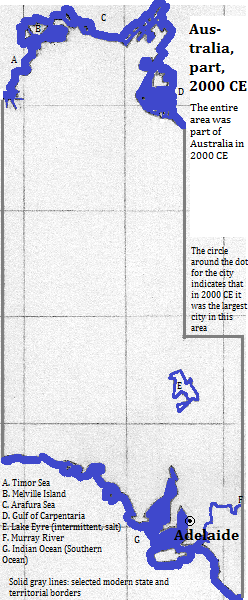
Historical maps
Footnotes
1. http://en.wikipedia.org/wiki/List_of_cities_in_Australia_by_population (citing Australian Bureau of Statistics, accessed 2013), accessed 9/19/2014.
2. http://en.wikipedia.org/wiki/City_of_Adelaide, accessed 9/19/2014.
3. Information about buildings is from emporis.com, accessed 9/29/2014.
4. The Times Atlas of the Oceans (Van Nostrand Reinhold Company, 1983), "commodity loading ports" map.
5. http://en.wikipedia.org/wiki/List_of_the_busiest_airports_in_Australia, table for passenger traffic, accessed 9/29/2014.
6. Estimate in Tables of the World's Largest Cities, in Tertius Chandler, Four Thousand Years of Urban Growth, 2nd ed. (The Edwin Mellen Press, 1987).