| To Duval Family Home Page | Asia | |
| To Chris Home Page | Iraq | |
| To Earth (Geography Home Page) |
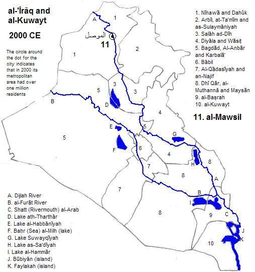
The modern city of الموصل (al-Mawsil), also called Mosul is on the left bank of the Dijlah (Tigris) River, but its metropolitan area spans both banks. Its population approached 2.9 million in 2010 1 and it probably exceeded one million in the year 2000.2 It boasts an extent minaret, 52 meters high, from a seventh century mosque. A couple of stadiums of note are the al-Mawsil University one and the one eponymous with the city, both used for soccer.
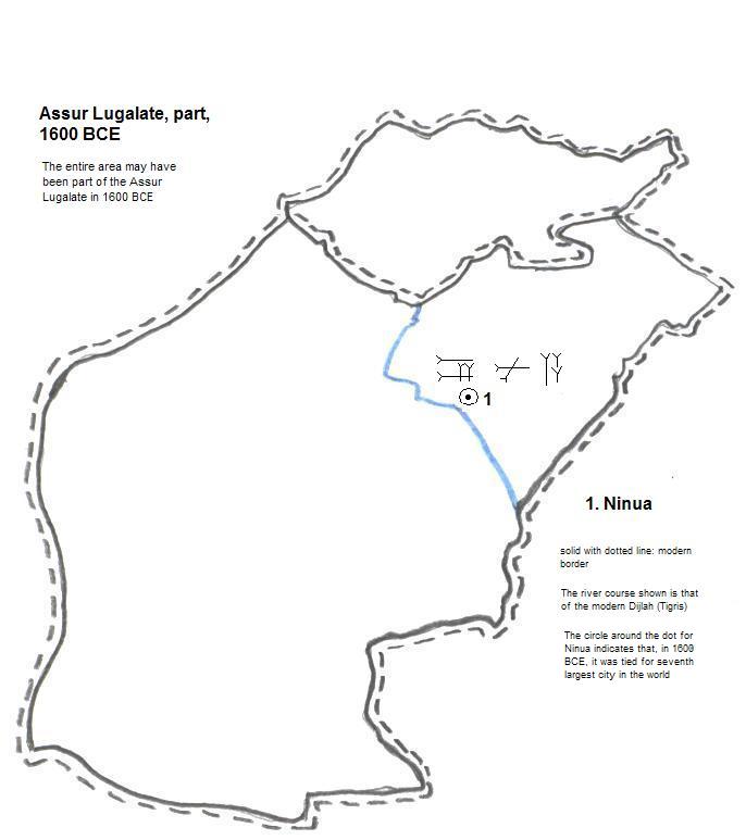
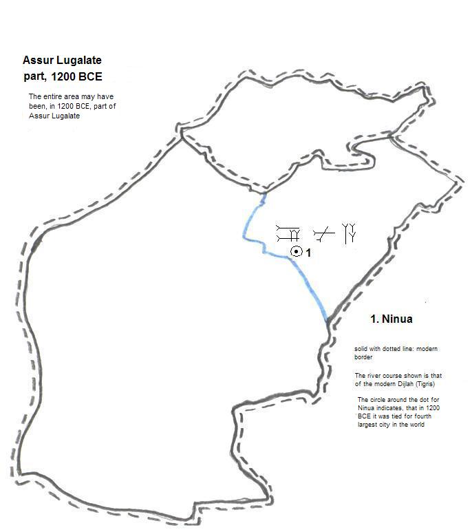
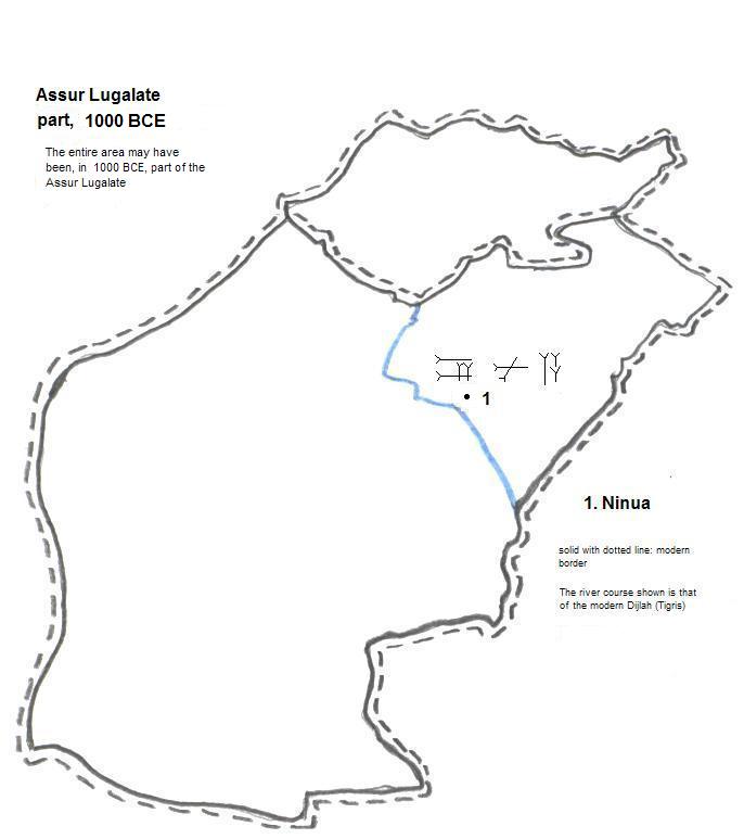
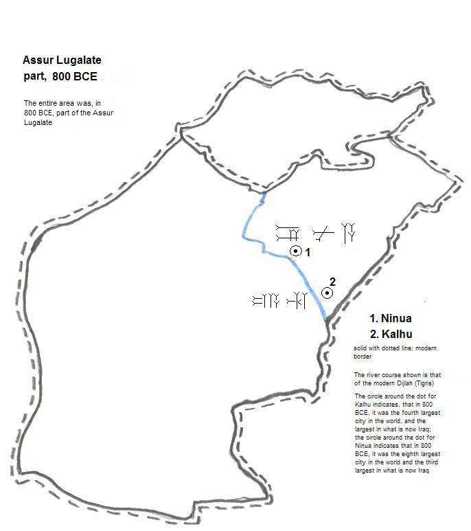
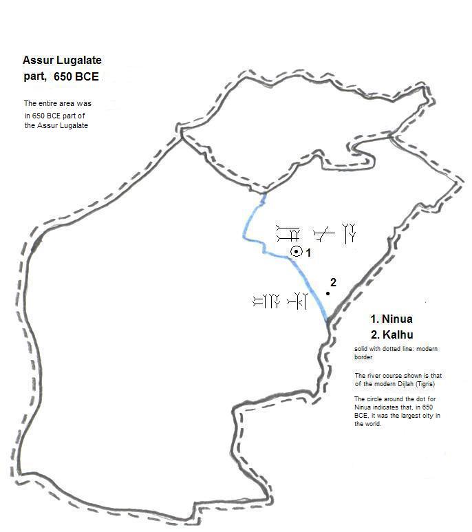
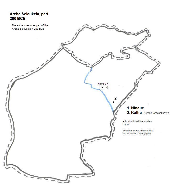
Ninua1, called Nινευη (Nineue) in Greek, also spelled Nineveh, and whose remains are the two sites of Kouyunjik and Nabi Yunus on the other side of the Dijlah (Tigris) River from Al Mawsil (Mosul), was, in 1600 BCE, part of the Assur Lugalate. At that time it was tied for seventh largest city in the world.2 Later it was ruled by Mitanni until the Assyrians again reclaimed it in the late 14th century BCE. In 1360, as part of Mitanni, it was tied for tenth largest city in the world.3 In 1200, as part of the Assur Lugalate, it was tied for fourth largest city in the world.4. Its status had declined by 1000 BCE but it remained part of the Assur Lugalate. In 800 it took second place to Kalhu (Nimrud) within the Assur Lugalate (Neo-Assyrian Empire), but was still the eighth largest city in the world.5 It became the principle capital of the lugalate in the seventh century BCE and soon became the world's largest city with an estimated population of 120 thousand.6 The Medes, however, destroyed the city in 612 BCE. It was re-occupied under the Greek Syrians7 but again fell to ruins sometime thereafter.
| Year | Population of al-Mawsil | Political entity |
| 1200 | 50,000 | Al-Khilafah al-'Abbasiyyah al-Islamiyyah |
| 1800 | 34,000 | Ottoman Empire |
| 1900 | 60,000 | Ottoman Empire |
mosque in al-Mawsil (Mosul)
reconstructed mashki gate at Ninua (Nineveh)

1. worldgazetteer.com, accessed 4/24/2010.
2. In 1987 it was 664 thousand. Interpolating back from its current estimate of 2882 thousand makes a population over a million in 2000 probable. Both population figures from worldgazetteer.com, accessed 4/24/2010.
1. In Akkadian and Sumerian, the city name was written in Cuneiform. This cannot be rendered in most browsers although unicode for it exists.
2. Tables of the World's Largest Cities, "1600 B.C." table, in Tertius Chandler, Four Thousand Years of Urban Growth, 2nd ed. (The Edwin Mellen Press, 1987). It was the second largest city in what is now Iraq.
3. Tables of the World's Largest Cities, "1360 B.C." table, in ibid. It was the second largest city in Iraq.
4. Tables of the World's Largest Cities, "1200 B.C." table, in ibid. It was the second largest city in Iraq.
5. Tables of the World's Largest Cities, "800 B.C." table, in ibid. It was the third largest city in Iraq.
6. Tables of the World's Largest Cities, "650 B.C." table, in ibid..
7. Ibid., pg. 416.
8. ibid., Tables of the World's Largest Cities.