The three states are divided into four bands. In western Tennessee is the Coastal Atlantic Plain, divided into the Mississippi Alluvial Plain near the river and the East Gulf Coastal Plain beyond it. Central Tennessee rises to the Interior Low Plateaus, part of the Interior Plains. Eastern Tennessee and the the western Carolinas are in the Appalachian Highlands. And lastly the eastern Carolinas are in the Atlantic Coastal Plain. The plain is divided between the Embayed Section in the northeast and the Sea Island Section further south. The Appalachians are divided into the Appalachian Plateaus Section in central Tennessee, the Valley and Ridge Section farther east in Tennessee, the southern section of the Blue Ridge Province on the Tennessee-North Carolina border (as well as a tiny stripe of northwest South Carolina), and the Piedmont Upland Section of the Piedmont Province in central North Carolina and northwest South Carolina.
There is one UNESCO World Heritage Site honoring nature: the Great Smoky Mountains National Park straddling the border of North Carolina and Tennessee. On the western side it touches the southern end of the Knoxville-Sevierville-La Folette metropolitan area. Tourists also visit the Blue Ridge Parkway, mostly for its scenery. The Parkway goes beyond the area into Virginia, and goes by the city of Asheville, North Carolina.
These states and Bermuda are in the part of North America in which English-speakers and Christians are the majority.
There are several metropolitan areas of over a million: See the Table of Cities of the Carolinas and Tennessee.
There is one UNESCO World Heritage Site honoring culture: the Historic Town of St. George and Related Fortifications, Bermuda.
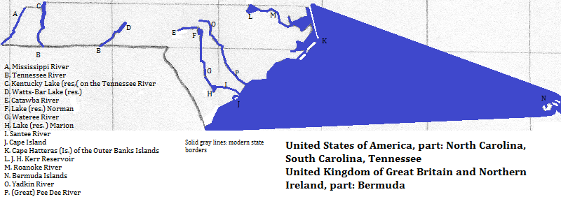
Morehead City, North Carolina, is an important phosphate port.
One Muskogean group, the Chickasaw, was found in western Tennessee. These people were forcibly removed to Oklahoma by a southern U.S. warlord, later elected president for his popular genocide.
There were two Iroquoian groups. In the west were the Cherokees, on the North Carolina-Tennessee border. They fell victim to the same warlord who forcibly relocated them along with the Muskogean groups. Closer to the embayed part of the North Carolina coast were the Tuscarora.
The Catawba language was spoken in South Carolina. A smallpox epidemic in the 18th century killed those who had survived massacres organized by the British governor of the colony. The Catawba, the Iroquois group and a non-local group are sometimes lumped together into a macro-group.
The English were the first Europeans in the coastal areas and expanded westward, while the French arrived via the Mississippi River system. The Anglo-Americans were the victors between the two rival European groups and violently displaced the natives. Some of them brought slaves, descended from Africans, into the area.

Waterfall in Great Smoky Mountains National Park
north
east
south of western North Carolina and southwest of South Carolina
south of western and central Tennessee
west of northwestern Tennessee
1. The Times Atlas of the Oceans (Van Nostrand Reinhold Company, 1983), "commodity loading ports" map lists it as major for the combined category of phosphate, alumina and bauxite. http://en.wikipedia.org/wiki/Morehead_City,_North_Carolina, accessed 2/10/2014, identifies the mineral as phosphate.
2. The relocations included intentionally inadequate food and blankets, a forced pace and cholera epidemics.