| To Duval Family Home Page | North America | |
| To Chris Home Page | Hispano-America | |
| To Earth (Geography Home Page) | México |
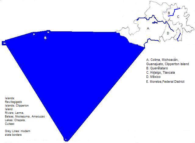
This area lies near the end of the Western
Part of the Chicontepec Formation of oil fields lies within Hidalgo.
This is one part of a large area of the Americas where Spanish and Roman Catholic Christianity represent the majority.
There are numerous UNESCO World Heritage Sites:
| Name | Location |
| Archeological Monuments Zone of Xochicalco | Morelos |
| Central University City Campus of the Universidad Nacional Autónoma de México | México City (Federal District) |
| Earliest 16th-Century Monasteries on the Slopes of Popocatepetl | Cuernavaca and other places in Morelos State, and beyond this area |
| Franciscan Missions in the Sierra Gorda of Querétaro | Querétaro State |
| Historic Centre of México City and Xochimilco | México City (Federal District) |
| Historic Centre of Morelia | Morelia, Michoacán |
| Historic Monuments Zone of Querétaro | Querétaro, Querétaro State |
| Historic Town of Guanajuato and Adjacent Mines | Guanajuato, Guanajuato State |
| Luis Barragán House and Studio | México City (Federal District) |
| Protective City of San Miguel and the Sanctuary of Jesús Nazareno de Atotonilco | San Miguel de Allende, Guanajuato State |
| Monarch Butterfly Biosphere Reserve | Michoacán and México State |
Besides the World Heritage Sites, the ruins of Teotihuacán is a major tourist site.
Major airports are located at México City and at Tolcuca.
México City, the capital of México, and co-terminous with México State, is the only city whose metropolitan area exceeds ten million.
For other metropolitan areas, and other cities see Center-West Mexican cities.
A sampling of pre-Columbian languages follows: I. The Aztecs, The best known religions were: I. A rain god, Chac, held first place among the Maya; the Uzo-Aztecans later called him Tlaloc. Human sacrifice may have been a late decadent development. II. The principle god of the Aztec Empire and important to earlier Uzo-Aztecans was Quetzalcoatl, the Feathered Serpent. Ritual warfare and human sacrifice were common. III. Further back in time Tezcatlipoca, the Smoking Mirror or Shining Smoke, was more important than Quetzalcoatl, who was considered by some a foreign introduction.
north 1. Occidental in Spanish.Around the area
southeast
southwest
northwest
Footnotes
2. Oriental in Spanish.
3. Sierra Madre in Spanish. Madre means mother.
4. National Autonomous Unversity of Mexico in English.
5. Ciudad de México in Spanish.
6. Méxica was their name for themselves.
7. Some regard Nahuatl today as consisting of several languages.