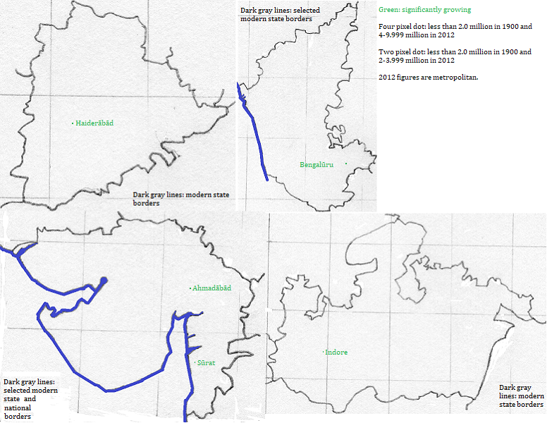

Haiderābād grew in the second half of the 20th century, partly due to migrants from other parts of the nation. Bengalūru grew in the late decades of the century, adding technological jobs to its industrial base. Ahmadābād also grew in the later decades, presumably due to the attraction of local jobs.