תל-אביב-יפו (Tel-Aviv-Yafo)
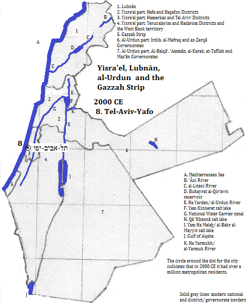
תל-אביב-יפו (Tel-Aviv-Yafo), is a municipality comprises the two old city of יפו (Yafo or Jaffa) and the modern city of תל-אביב (Tel-Aviv of Tel Aviv). The conurbation is sometimes called Gush Dan. It is located on the central coast of ישראל (Yisra'el or Israel) and has metropolitan population of 3.651 million.1 The area is home to the regionally important Ben Gurion Airport.
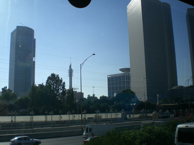
The tallest building is in the suburb of Ramat Gan, home of the nation's Diamond District; it is the 68-story City Gate Ramat Gan, a cylindrical office tower. Other buildings of note are the Circular, Triangular and Square towers of the Azrieli Center.2 But the greatest honor goes to some of the smaller buildings built in the 1930s through the 1950s: "The White City," a UNESCO World Heritage Site honoring the modernist styles and their local adaptations, and the garden city plan of Sir Patrick Geddes. Influences include Bauhaus, Le Borbusier and Erich Mendelsohn.3

Azrieli Center and another building, Tel-Aviv-Yafo
Historical maps

Footnotes
1. world-gazetteer.com, accessed 6/3/2013. It was the largest city in the area in 2000 CE.
2. Emporis.com, accessed 9/27/2013.
3. UNESCO, World Heritage Sites (Firefly Books, 2010). There are over 2500 Bauhaus buildings according to emporis.com, accessed 9/27/2013.

