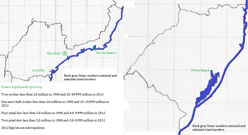

São Paulo grew in the early 20th century as an industrial center, though its economy is more service oriented now. Rio de Janeiro, the national capital of Brasil for much of the 20th century, grew in part thanks to tunnels under the southern mountains that connected the original urban center to Copacabana. Porto Alegre grew in the later 20th century thanks to its location as a sheltered port.