| To Duval Family Home Page | Africa | |
| To Chris Home Page | Eastern Egypt | |
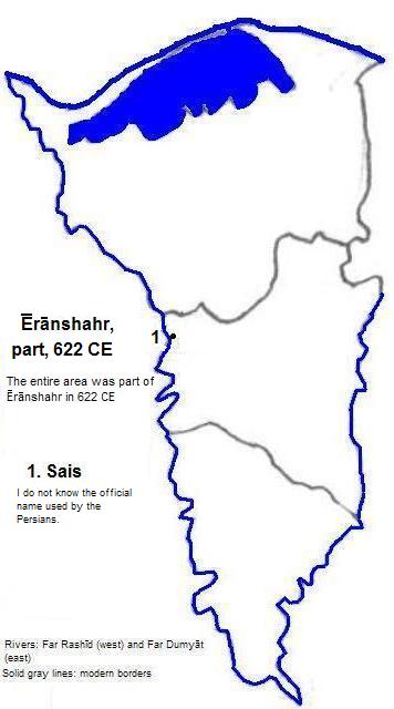
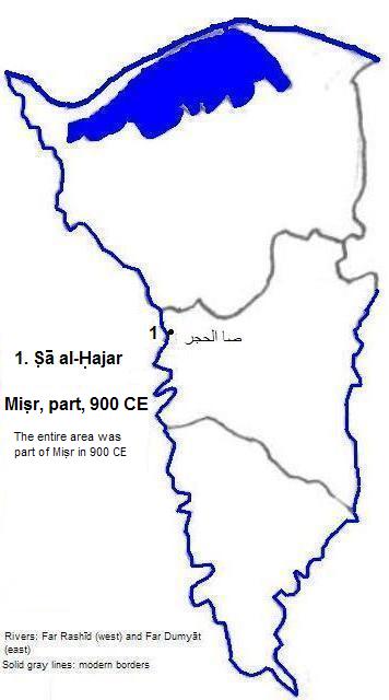
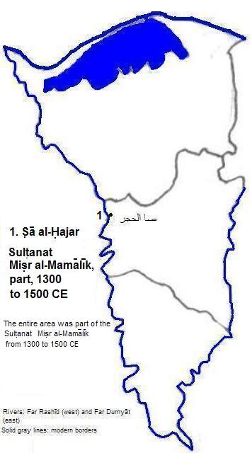
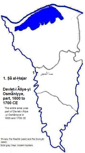
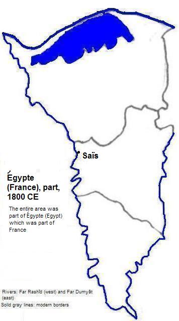
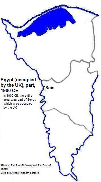
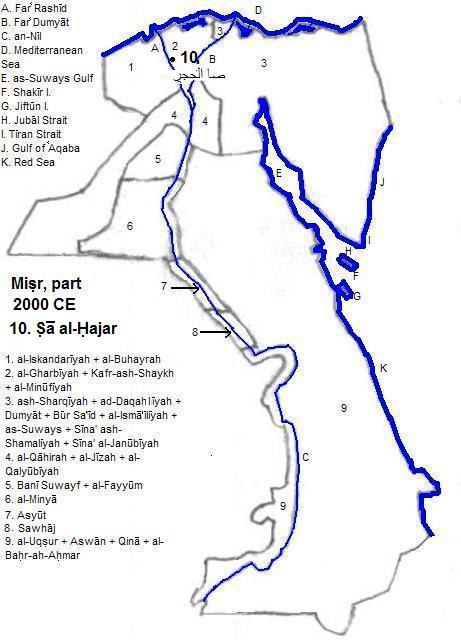
| To Earth (Geography Home Page) | Miṣr (Egypt) |
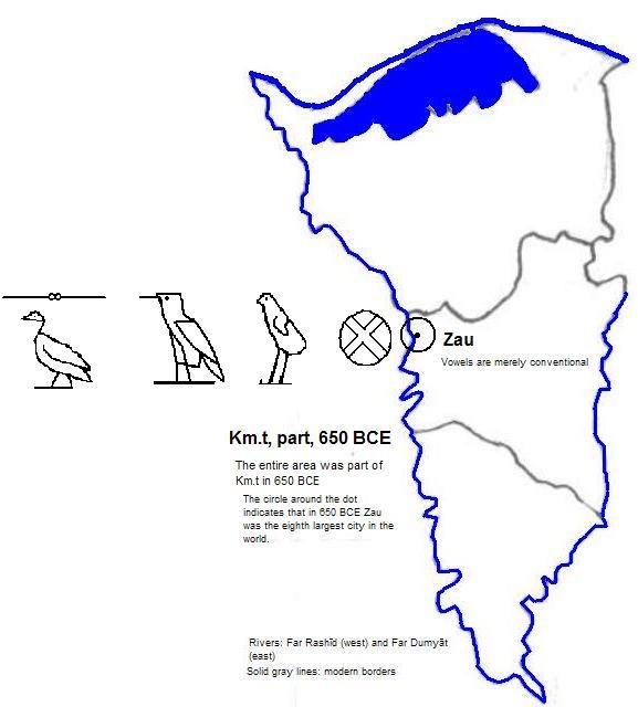
صا الحجر (Ṣā al-Ḥajar, also called Sa El-Hagar) is the name of a village in al-Gharbīyah Nome, Misr (Egypt) atop the site of ancient Sʒw (Zau)
| Name | Year | Population | Political entity |
| Sʒw | 650 BCE | 48,000| Km.t (Kemet or Egypt) | |
Sa El-Hagar village and remains of Sʒw (Zau or Sais)


1. The vowels are conventional among Egyptologists but are not intended to represent the vowel sounds of the times. The initial 'A' was chosen merely because the character represented as ʒ was the first letter in the Egyptian alphabet.
2. Spelling taken from Georges Roux, Ancient Iraq (3rd ed., Penguin Books, 1992). I interpreted this to be Aramaic Samekh for purposes of the glyph on the map.
3. Tertius Chandler, Four Thousand Years of Urban Growth, 2nd ed. (The Edwin Mellen Press, 1987), Tables of the World's Largest Cities.
4. www.dur.ac.uk/penelope.wilson/intro.html, accessed 3/3/2012.