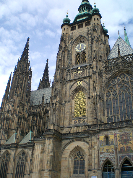
Cathedral of St. Vitus, Praha
| To Duval Family Home Page | Europe |
| To Chris Home Page | Österreich, Helvetia, the Česká Republic and the Slovenská Republic |
| To Earth (Geography Home Page) |
Praha, was formerly called Praga in Latin and Prag in German, is called Prague in English, and is the capital of the Česká (Czech) Republic, and is in the center of Bohemia on the Vlatava, a tributary of the Labe (Elbe). It has a metropolitan population of 1.965 million,
The tallest structure is the Tower Praha, a 709 foot communications tower, with a restaurant part way up. In 2001 statues of crawling babies were added by the artist David Černý. The tallest regular building is the 27 story, multi-use City Tower.
The Vaclav Havl Airport is among Europe's busiest.
| Year | Population | Political entity |
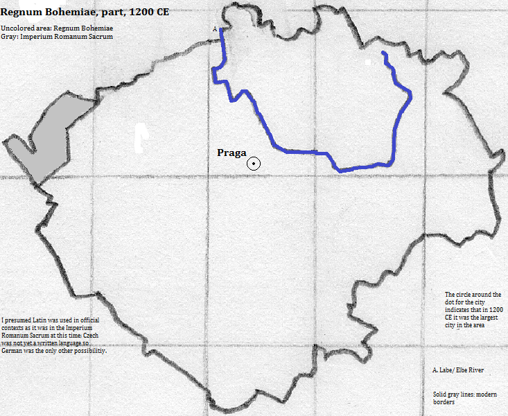
| 1200 CE | 22,000| Regnum Bohemiae (Bohemian Kingdom) | |
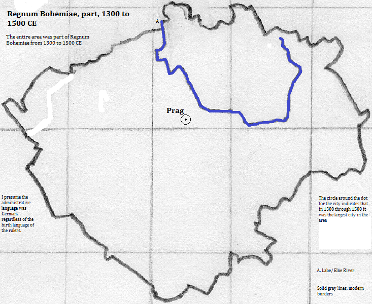
| 1300 CE | 40,000| Regnum Bohemiae (Bohemian Kingdom) | |
| 1400 CE | 95,000| Regnum Bohemiae (Bohemian Kingdom) | |
| 1500 CE | 70,000| Regnum Bohemiae (Bohemian Kingdom) | |
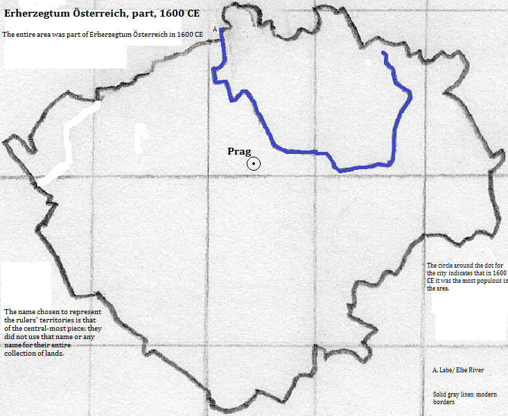
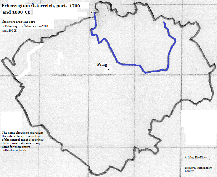
| 1600 CE | 110,000| Erherzegtum Österreich (Hapsburg Empire) | |
| 1700 CE | 48,000| Erherzegtum Österreich (Hapsburg Empire) | |
| 1800 CE | 77,000| Erherzegtum Österreich (Hapsburg Empire) | |
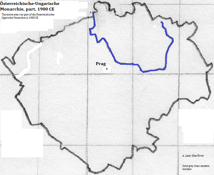
| 1900 CE | 474,000| Österreichische-Ungarische Monarchie (Austria-Hungary) | |
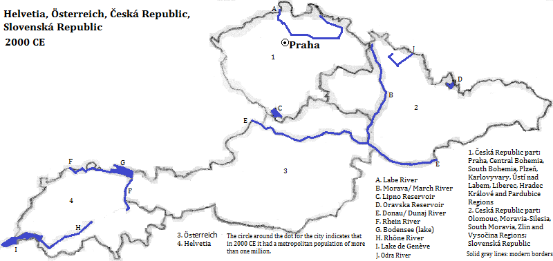
| 2003 CE | 1,965,000| Česká (Czech) Republic | |

Cathedral of St. Vitus, Praha
1. en.wikipedia.org/wiki/Larger_Urban_Zones, 2003 calculation, accessed 9/13/2013.
2. http://en.wikipedia.org/wiki/List_of_cities_in_the_Czech_Republic, accessed 9/13/2013.
3. emporis.com, accessed 10/7/2013.
4. http://en.wikipedia.org/wiki/List_of_the_busiest_airports_in_Europe, accessed 9/13/2013.
5. Tertius Chandler, Four Thousand Years of Urban Growth, 2nd ed. (The Edwin Mellen Press, 1987), "Tables of World's Largest Cities". From 1200 to 1600 CE, it was the largest city in what is now Österreich (Austria), Helvetia (Switzerland), the Česká (Czech) Republic and the Slovenská (Slovak) Republic.