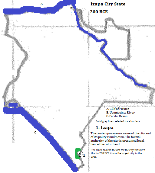
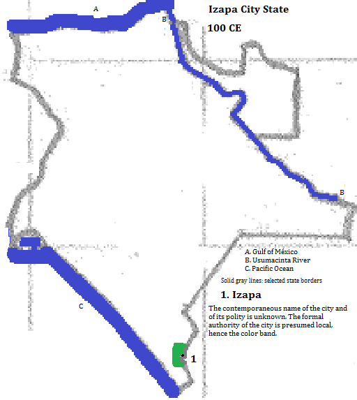
Izapa
Izapa is the current name1 of a former city along a tributary of the Suchiate River,2 below the Tacaná volcano, within Chiapas State, México. It flourished 600 BCE to 100 CE (although there is much uncertainty about these dates).3 In the absence of better information the formal scope of Izapa's polity can be presumed local.
| Year | Population | Political entity |
| 200 BCE | 35,0004| Izapa city state5 | |
External references
Ruins of Izapa, Chiapas State, México
Historical maps
Footnotes
1. Its ancient name and that of the polity is was the center of are unknown.
2. It forms the border between México and Guatemala.
3. https://en.wikipedia.org/wiki/Izapa, accessed 8/18/2015.
4. Estimate in Tables of the World's Largest Cities, in Tertius Chandler, Four Thousand Years of Urban Growth, 2nd ed. (The Edwin Mellen Press, 1987). It was the largest city in southeast México in 200 BCE.
5. The name of the polity is unknown.