Granada
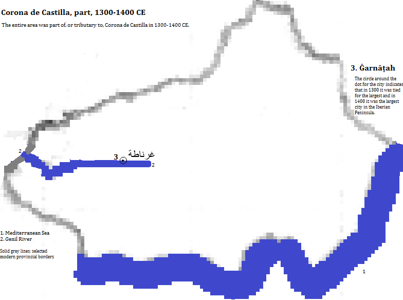
Granada is located along the right (north) bank of the Genil,1 where the Darro flows joins it, in the middle of the Andalucian2 Mountains, in its eponymous province in the Andalucía3 Autonomous Community of España (Spain). In 2014 it had a population of 238 thousand4 and a 2008 metropolitan population of 425 thousand.5 It became important as غرناطة (Ġarnāṭah) in the 11th century, especially after becoming a tributary principality of the Corona de Castilla6 in 1238. Its autonomy ended before 1500 as did its diversity, with Moslems and Jews exiled, slaughtered or forcibly converted by the Christians. UNESCO honors two buildings and a neighborhood as a World Heritage Site: the 14th century Alhambra palace and fortress (also popular with tourists7); the residential gardens of the 13th and 14th century Generalife; and the Albayzin quarter with elements from before and after the Christian conquest. The Alhambra sits on a hilltop with a view of the Sierra Nevada (Snowy Range) and is organized around two patios: that of los Arraynes and that of los Leones, and the exterior landscaping includes still and moving water. The building includes marble columns, stalactite cupolas, stucco work, ceramic tiles, precious woods and paintings on leather. The Generalife gardens feature water and flowering trees and bushes.8 The city's tallest modern buildings are a residential tower that includes a hotel (Edificio A, 154 feet, 16 stories, 1969) and an observation tower (164 feet, 2000).9
| Year | Population | Political entity |
| 1300 CE | 90,00010 | tributary state of Corona de Castilla (Castille and Leon) |
| 1400 CE | 90,00010 | tributary state of Corona de Castilla (Castille and Leon) |
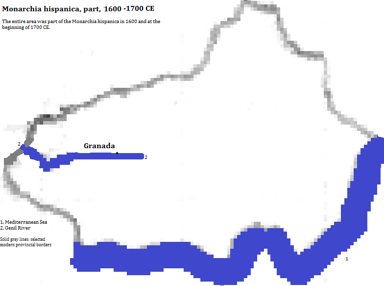
| 1500 CE | 70,00010 | Monarchia hispanica (Spanish Empire) |
| 1600 CE | 68,00010 | Monarchia hispanica (Spanish Empire) |
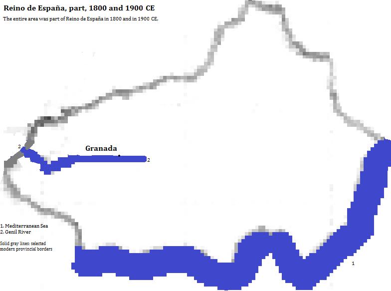
| 1900 CE | 75,00010 | Reino de Espaņa (Kingdom of Spain) |
| 2008 CE | 425,0005 | Reino de Espaņa (Kingdom of Spain) |
External references
Alhambra fortress and mountain view, Granada, Granada Province, Andalucía (Andalusia) Autonomous Community of España (Spain)
Historical maps


Footnotes
1. The Genil flows into the the Guadalquivir.
2. Or Baetic or Penibetica.
3. Andalusia in English.
4. Side bar of https://en.wikipedia.org/wiki/Granada, accessed Dec. 28-30, 2015.
5. Francisco Ruiz column for 2008 from https://en.wikipedia.org/wiki/List_of_metropolitan_areas_in_Spain, accessed 12/28-30/2015.
6. Castille and Leon in English.
7. www.touropia.com/tourist_attractions_in_Spain/, accessed Dec. 30, 2015.
8. Information about the UNESCO site comes from UNESCO, World Heritage Sites (Firefly Books, 2010).
9. Emporis.com, accessed Mar. 8/2016.
10. Estimate in Tables of the World's Largest Cities, in Tertius Chandler, Four Thousand Years of Urban Growth, 2nd ed. (The Edwin Mellen Press, 1987). It was tied for the largest city on the Iberian Peninsula in 1300 and was the unchallenged largest in 1400 and 1500 CE.


