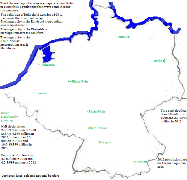

Metropolitan areas grew as distinct communities became, in part, bedroom satelites of large cities, and large cities became linked economically into polycentric megalopolises. The growth was particularly marked for what are now called the Rhein-Ruhr, the Randstad and the Rhein-Main.