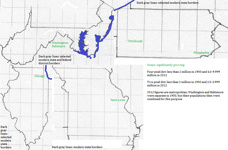

Chicago, Washington-Baltimore and Philadelphia metropolitan areas grew in the second half of the 20th century due to in-migration from rural areas. Chicago and Philadelphia also grew in the first third of the century due to the arrival of African-Americans who left the apartheid south to take jobs in newly established industries. The Washington-Baltimore metropolitan area benefited from the expansion of the federal government that started in the 1930s.