| To Duval Family Home Page | Europe | Iberia |
| To Chris Home Page | To Earth (Geography Home Page) | España |
Cádiz is a city of 124 thousand,
The tallest structures are pylons that support the electric transmission lines that cross the bay. The Torre (Tower) Tavira II, a telecommunications tower, is next tallest. The tallest buildings are a pair of residential structures, the Torres Bahía (190 feet, 17 stories, 2003).
| Year | Population | Political entity |
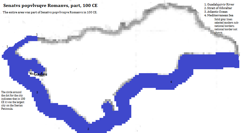
| 100 CE | 65,000 | Senatvs popvlvsqve Romanvs (Roman Empire) |
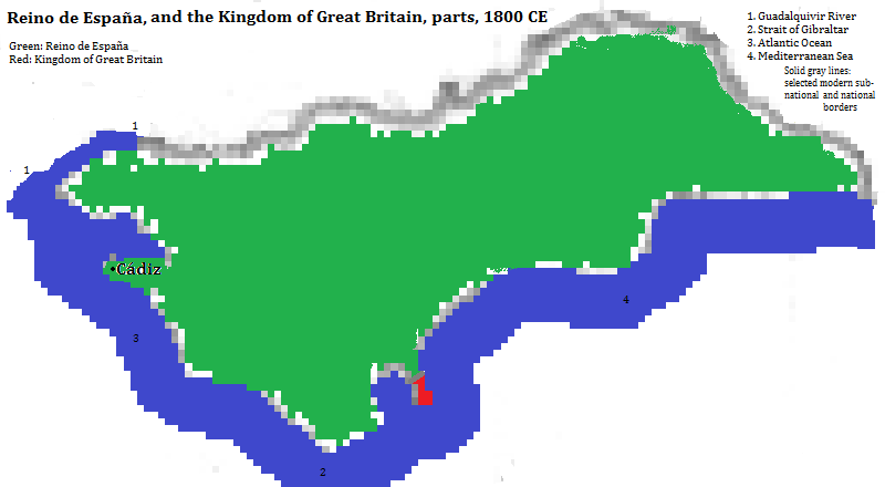
| 1800 CE | 87,000 | Reino de Espaņa (Kingdom of Spain) |
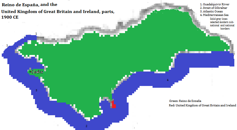
| 1900 CE | 113,000 | Reino de Espaņa (Kingdom of Spain) |
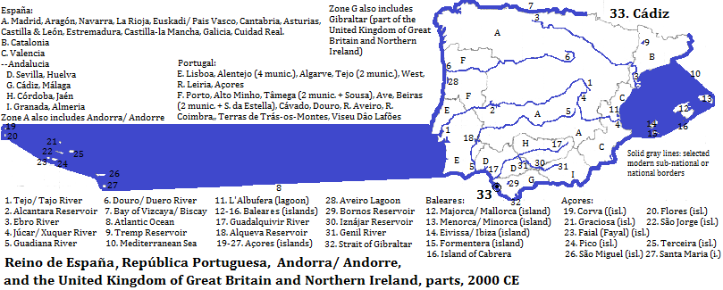
| 2008 CE | 425,000 | Reino de Espaņa (Kingdom of Spain) |
Overview of Cádiz, Cádiz Province, Anadalucia Autonomous Community, España


1. 2012 figure from the side bar of https://en.wikipedia.org/wiki/C%C3%A1diz, accessed 12/28-30/2015.
2. Francisco Ruiz column for 2008 from https://en.wikipedia.org/wiki/List_of_metropolitan_areas_in_Spain, accessed 12/28-30/2015.
3. The historical sketch is derived from https://en.wikipedia.org/wiki/C%C3%A1diz, accessed 1/18/2016.
4. Information about structures is from emporis.com, accessed 1/18/2016. The pylons were erected in 1960 and are 518 feet high. The Torre Tavira II is 262 feet high and was completed in 1992.
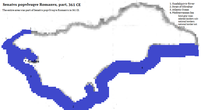
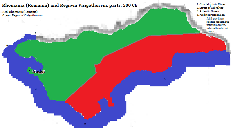
5. Estimate in Tables of the World's Largest Cities, in Tertius Chandler, Four Thousand Years of Urban Growth, 2nd ed. (The Edwin Mellen Press, 1987). It was the largest city in the Iberian peninsula in 100 CE. Chandler does not cite an Iberian city in his tables for 361 or 500 CE.