| To Duval Family Home Page | Europe | |
| To Chris Home Page | Україна (Ukraine) | |
| To Earth (Geography Home Page) |
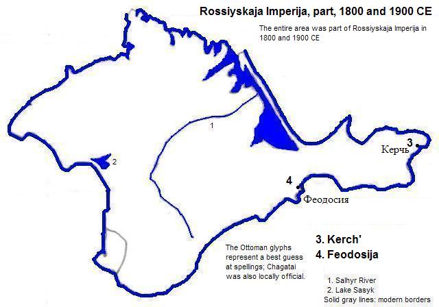
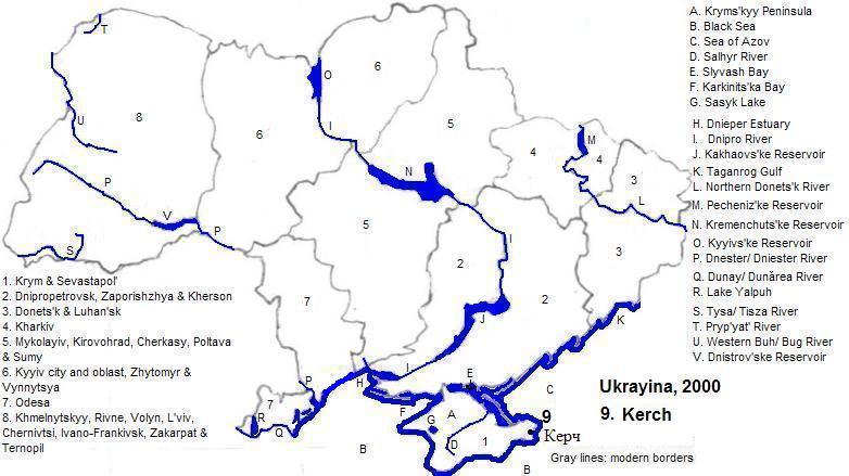
Керч (Kerch or Kerč) has just under 150 thousand residents.
| Year | Population | Political entity |
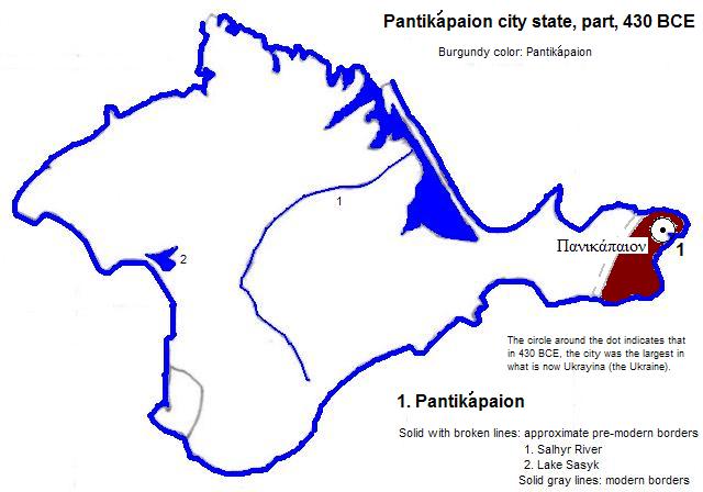
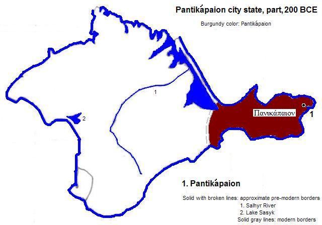
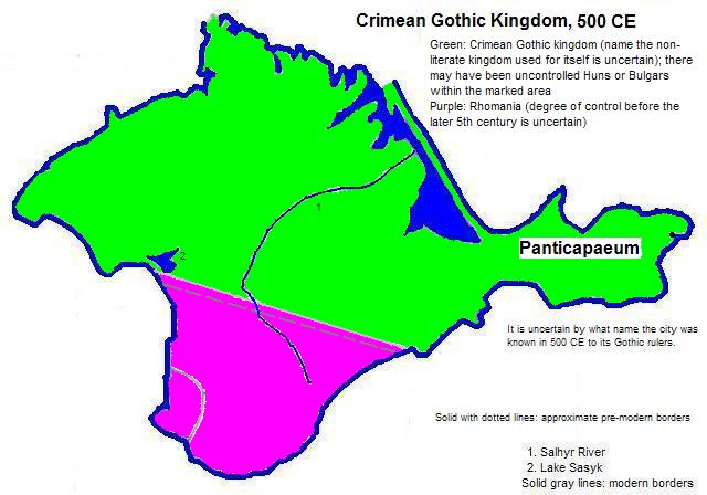
| 430 BCE | | Πανικάπαιον (Pantikápaion) city state | |
| 2000 CE | 159,000| Україна (Ukrayina) | |
steps and remains at Mount Mithradates, Kerch
1. World-gazetteer.com, accessed 8/2/2012.
2. Russian in the older sense before Ukrainians became linguistically distinct.
3. Sometimes written as Cherkio, also called Vosporo.
4. In Tertius Chandler, Four Thousand Years of Urban Growth, 2nd ed. (The Edwin Mellen Press, 1987), "Tables of World's Largest Cities 430 BC", the city was smaller than Ayodhya, which was smaller than Rajagriha, which was smaller than Gela, which had 35 thousand residents. It was larger than Trichinopoly, which was larger than Pyongyang, which was larger than Cuicuilco, which was larger than Taiyüan, which was larger than what later became known as دمشق (Dimashq), which had 30 thousand residents.
5. Rounded from world-gazeteer.com, 2001 census (city proper), accessed 11/10/2012.