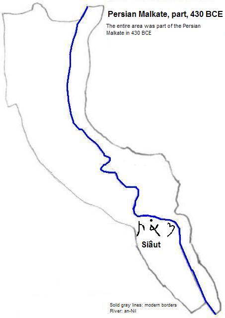
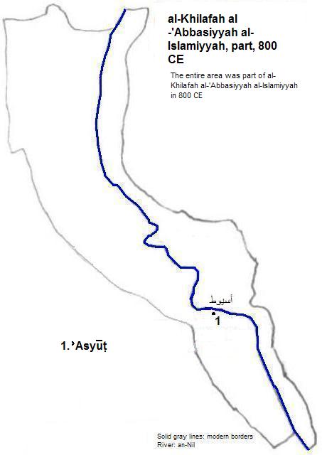
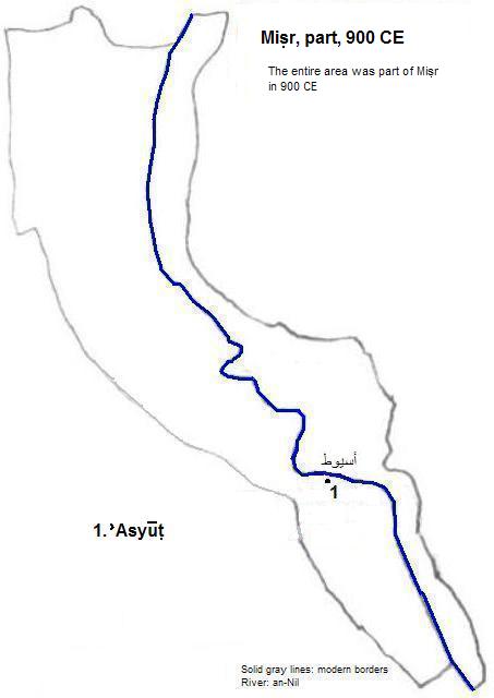
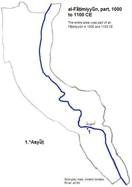
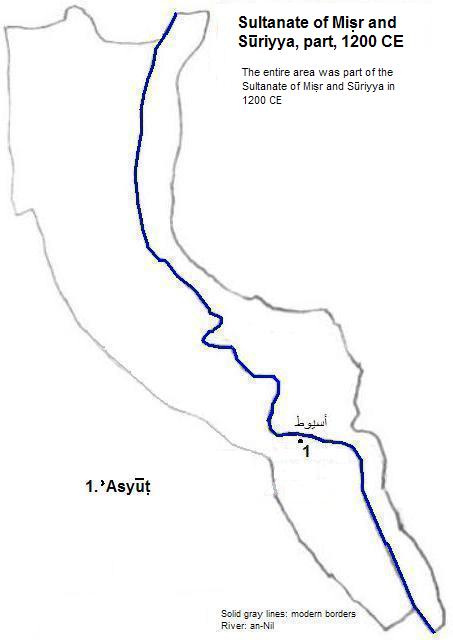
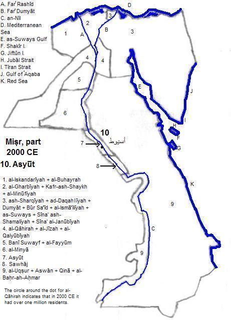
أسيوط (,Asyūṭ)
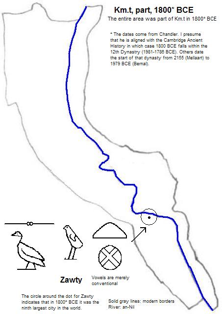
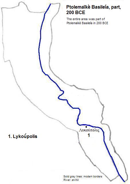
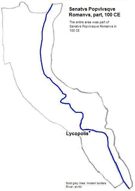
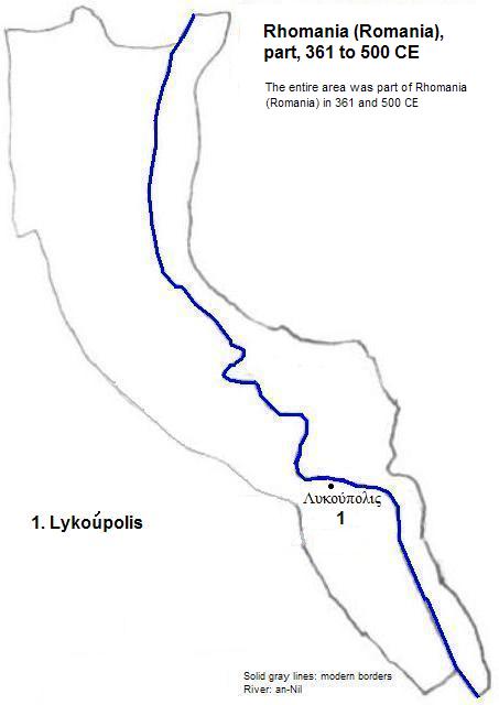
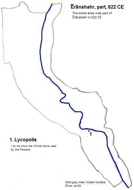
أسيوط (,Asyūṭ), formerly known as Sʒwty (Zawty),1, Siâut2, Λυκούπολις (Lykoúpolis and Lykopolis), Lycopolis, Assiout and Asyut, is located on the left bank of the an-Nil (Nile) just upstream of a bend in the river. The city today has a population exceeding 400 thousand.3 Remains from the ancient city's necropolis include tombs of three officials, two of which were called Khety. Classical Greeks paid more attention to the dog and wolf mummies, hence their name for the city. Ancient gods included Wepwawet, Anubis and Hereret.4 Around the beginning of this century the Virgin Mary is believed by Coptic Christians to have appeared here.
| Year | Population | Political entity |
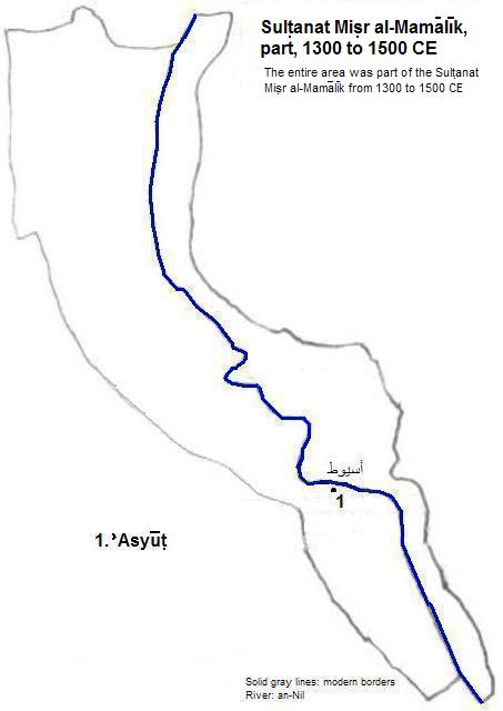
| 1800 BCE5 | 6| Km.t (Kemet or Egypt) | |
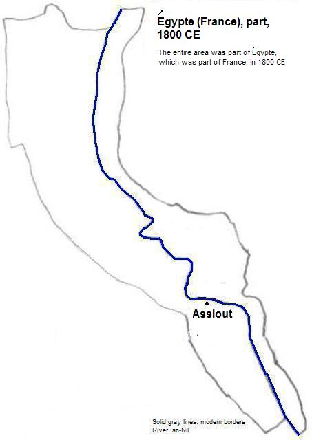
| 1800 CE | 25,0007| Égypte (Egypt), part of France | |
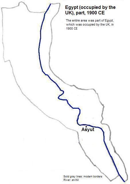
| 1900 CE | 42,0007| Egypt, which was occupied by the UK | |
External references
Tomb IV of Khety II, near Asyūt
Historical maps
Footnotes
1. The vowels are conventional among Egyptologists but are not intended to represent the vowel sounds of the times.
2. Spelling taken from Georges Roux, Ancient Iraq (3rd ed., Penguin Books, 1992). I interpreted this to be Aramaic Samekh-Aleph-Taw for purposes of the glyph on the map.
3. Calculation for 2012 in world-gazetteer.com, accessed January 28, 2012.
4. Donald B. Spanel, "Asyut", in Donald B. Redford, ed., The Oxford Encyclopedia of Ancient Egypt, Vol. I (Oxford Unversity Press, 2001).
5. I'm guessing that Chandler is using the Cambridge Ancient History's dating, in which case 1800 BCE falls within the 12th Dynasty (1991 to 1786 BCE). Others date that dynasty's start from 2155 (Mellaar) to 1979 BCE (Bernal). See Tertius Chandler, Four Thousand Years of Urban Growth, 2nd ed. (The Edwin Mellen Press, 1987) and Martin Bernal, Black Athena, Volume II (Rutgers University Press, 1991).
6. According to Chandler, ibid., "Tables of World's Largest Cities: 1800 B.C.", Sʒwty was smaller than Nn(w)-nswt (Heracleopolis), which was smaller than Kerma, which was smaller than Susa, which had an estimated 25 thousand residents. It was larger than Mohenjo-daro, which had an estimated 20 thousand residents. It was the ninth largest city in the world in 1800 BCE.
7. Chandler, ibid., "Tables of the World's Largest Cities."
8. World-gazetteer.com, accessed 6/2/2012.