Akhetaten
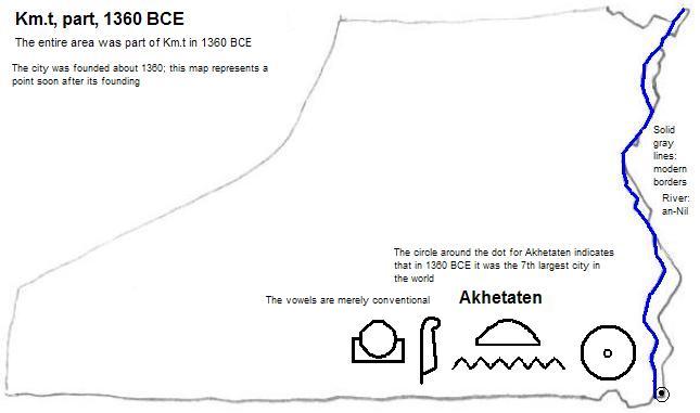
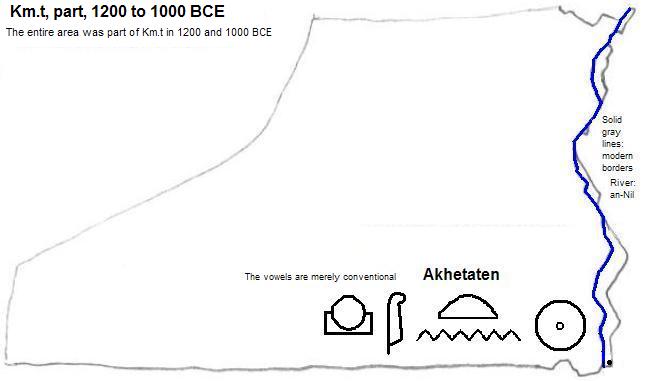
Akhetaten1 was located in what is now the southeast corner of al-Minyā (Miṣr or Egypt), on the right bank of the an-Nil (Nile). It was the briefly the capital of ancient Kemet (Egypt) under Akhenaten (also known as Amenhotep IV). The remains are called el-Amarna or Tell el-Amarna although there is no tell (hill). The original name means Horizon of the Sun Disk. It was founded about 1360 BCE and mostly abandoned by 1343 BCE, although a small river town persisted until the 22nd or 23rd dynasty (945-715 or 818-715 BCE). Remains include 15 boundary stelae marking the city limits, some of them with shrines; the Great Aten Temple (royal tomb); the North Palace; the Small Aten Temple; the King's House; and workshops including that of Thutmose. A cache of 300 tablets, the Amarna letters, was found here.2
| Year | Population | Political entity |
| 1360 BCE3 | 30,0004| Km.t (Kemet or Egypt) | |
External references
ruins of Small Aten Temple, Akhetaten (el-Amarna)
Historical maps
Footnotes
1. The vowels are conventional among Egyptologists but are not intended to represent the vowel sounds of the times.
2. Betsy M. Brian, 'Tell el-Amarna', in Donald B. Redford, ed., The Oxford Encyclopedia of Ancient Egypt, Vol. I (Oxford Unversity Press, 2001).
3. 1360 BCE is just approximate since the city was founded about that year.
4. Tertius Chandler, Four Thousand Years of Urban Growth, 2nd ed. (The Edwin Mellen Press, 1987), "Tables of World's Largest Cities: 1360 B.C." Chandler says it was the seventh largest city in the world at that time.